Overview
Maintenance of Gas assets has never been easier without GIS. Integration with GIS enables better use of available capacity such as size, pressure and inlet quantity making it possible to efficiently use existing pipeline infrastructure. GIS supports Gas distributions engineering and operations functions, realizing enhanced customer service, increased network reliability and reduced cost.

Storage and management of geospatial data

Leak/Outage Analysis

Asset management

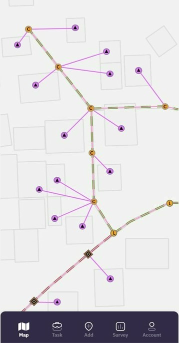
Gas pipeline Network planning

Operation & Maintenance
How GIS in Gas Utility
What Hexamap provides for GIS in Gas Utility?
Enterprise GIS Solution Deployment
GIS Desktop Customization
Data Migration
Dashboards & Reporting
Mobile Application for O&M
Integration with SCADA and other sub systems
Benefits of GIS In Gas utilities
GGIS is used for gas pipeline distribution organization for there daily operations such as:
- Plan pipeline route to ensure maximum reach with minimum length.
- Reduce the network design time.
- Flexibility to change the design to suit the site condition.
- Identify weak sections of the pipeline and to replace the segment to prevent a leak or an accident.